Map of the Sulu Archipelago - c1918-20
The archipelago is about
200 miles (320 km) from end to end and has a total land area of less than 1,100
square miles (1,800 sq km) across 437 small islands. Less than 20 percent of
the land area were suitable for seed crops, such as rice, however the islands
were abundant in coconuts, fruits, cassava, and yams, and the currents brought
in a wide variety of fish and mollusks. Jolo was similarly rugged, but with
more open areas and forest.
Its fertile soil and
ideal climate make Jolo, Sulu ideal for growing a great variety of crops. They
have abaca, coconuts, oranges and lanzones, exotic fruits seldom found
elsewhere in the country such as durian and mangosteen are grown.
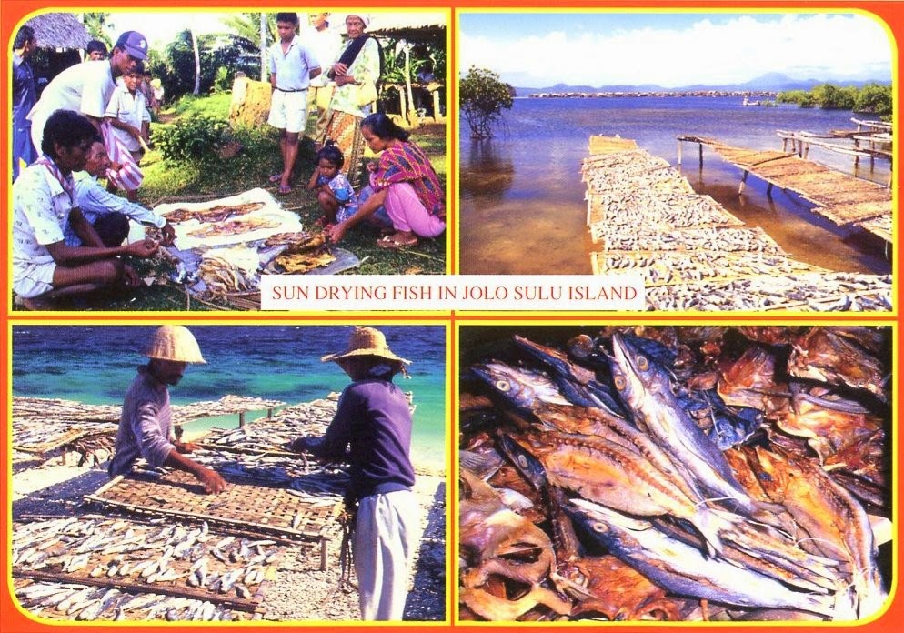
Fishing is the most important
industry since the Sulu Sea is one of the richest fishing grounds in
the Philippines. Also, Pearls are extensively gathered and there is a
pearl farm at Marungas Island. It can be reached in a 30-minute pump boat ride
from the mainland of Jolo. In addition, the backs of sea turtles are made
into beautiful trays and combs. During non-fishing time, the people build
boats and weave mats. The Sulu Sea is dotted with coral reefs and can
provide probably some of the world´s best dive spots for the ultimate in
underwater beauty and adventure. Tubbataha Reef is the best known site in
the Sulu Sea, drawing divers from all over the world.


No comments:
Post a Comment